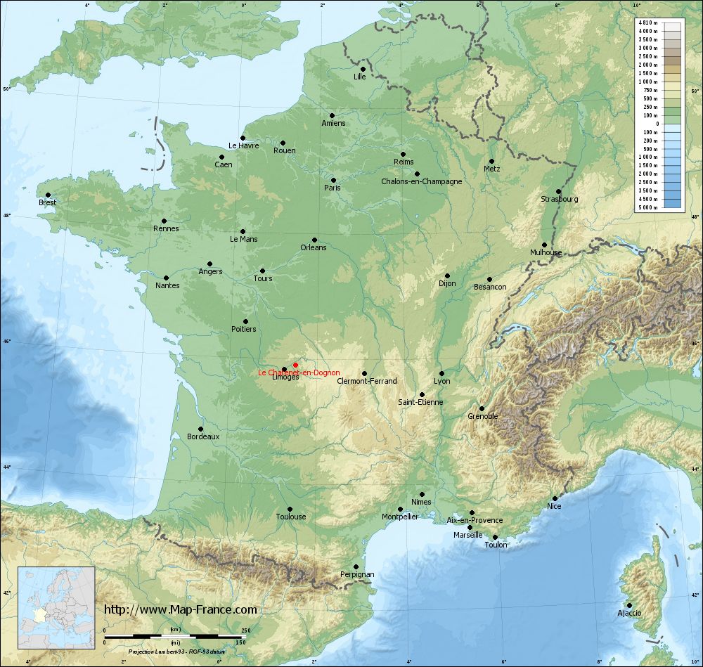
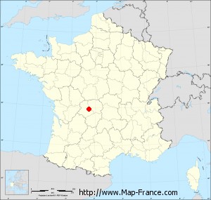
Le Châtenet-en-Dognon on the relief France map in Lambert 93 coordinates
|
See the map of Le Châtenet-en-Dognon in full screen (1000 x 949)
|
At left, here is the location of Le Châtenet-en-Dognon on the relief France map in Lambert 93 coordinates.
Here are the altitudes of Le Châtenet-en-Dognon :
- Town hall altitude of Le Châtenet-en-Dognon is 412 meters
- Minimum altitude of Le Châtenet-en-Dognon is 271 meters
- Maximum altitude of Le Châtenet-en-Dognon is 457 meters
- Medium altitude of Le Châtenet-en-Dognon is 364 meters
Here are the altitudes of Limoges, prefecture of Haute-Vienne department:
- Town hall altitude of Limoges is 306 meters
- Minimum altitude of Limoges is 209 meters
- Maximum altitude of Limoges is 431 meters
- Medium altitude of Limoges is 320 meters
Here are the altitudes of the french biggest cities:
Paris : 33 meters
Marseille : 20 meters
Lyon : 237 meters
Toulouse : 146 meters
Nice : 10 meters
Nantes : 20 meters
Strasbourg : 144 meters
Montpellier : 35 meters
Bordeaux : 16 meters
Lille : 20 meters
Rennes : 35 meters
Reims : 83 meters
Click here for the terrain map of Le Châtenet-en-Dognon in full screen:
Relief map of Le Châtenet-en-Dognon
|
This relief map of Le Châtenet-en-Dognon is reusable and modifiable by making a link to this page of the Map-France.com website or by using the given code :
|
Terrain base map of Le Châtenet-en-Dognon
|

See the terrain base map of Le Châtenet-en-Dognon in full screen (1000 x 949)
|
Small relief base map of Le Châtenet-en-Dognon
|
This base map of Le Châtenet-en-Dognon is reusable and modifiable by making a link to this page of the Map-France.com website or by using the given code :
|
Map of Le Châtenet-en-Dognon with regions and prefectures
|
View the map of Le Châtenet-en-Dognon in full screen (1000 x 949)
|
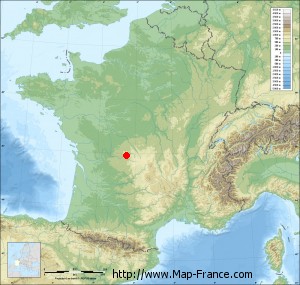
You will find the location of Le Châtenet-en-Dognon on the map of France of regions in Lambert 93 coordinates. The town of Le Châtenet-en-Dognon is located in the department of Haute-Vienne of the french region Limousin.
Geographical sexagesimal coordinates / GPS (WGS84):
Latitude: 45° 54' 21'' North
Longitude: 01° 30' 22'' East
Geographical decimal coordinates :
Latitude: 45.906 degrees (45.906° North)
Longitude: 1.505 degrees (1.505° East)
Lambert 93 coordinates :
X: 5 842 hectometers
Y: 65 351 hectometers
Lambert 2 coordinates :
X: 5 356 hectometers
Y: 21 010 hectometers
Below, the geographical coordinates of Limoges, prefecture of the Haute-Vienne department:
Geographical sexagesimal coordinates / GPS (WGS84):
Latitude: 45° 50' 04'' North
Longitude: 01° 15' 42'' East
Geographical decimal coordinates :
Latitude: 45.832 degrees (45.832° North)
Longitude: 1.259 degrees (1.259° East)
Lambert 93 coordinates :
X: 5 651 hectometers
Y: 65 276 hectometers
Lambert 2 coordinates :
X: 5 165 hectometers
Y: 20 933 hectometers
|
This map of Le Châtenet-en-Dognon is reusable and modifiable by making a link to this page of the Map-France.com website or by using the given code :
|
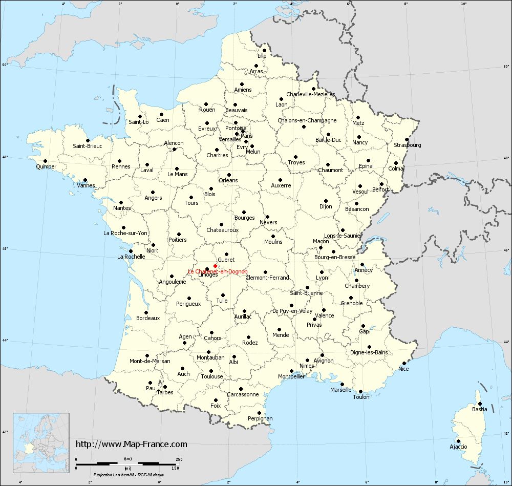
Map of Le Châtenet-en-Dognon with departments and prefectures
|
Voir la carte of Le Châtenet-en-Dognon en grand format (1000 x 949)
|
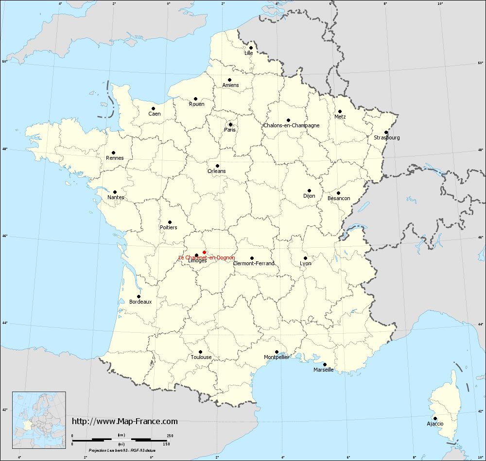
Here is the localization of Le Châtenet-en-Dognon on the France map of departments in Lambert 93 coordinates. The city of Le Châtenet-en-Dognon is shown on the map by a red point.
The town of Le Châtenet-en-Dognon is located in the department of Haute-Vienne of the french region Limousin.
The latitude of Le Châtenet-en-Dognon is 45.906 degrees North.
The longitude of Le Châtenet-en-Dognon is 1.505 degrees East.
Here the distance between Le Châtenet-en-Dognon and the biggest cities of France:
Distances are calculated as the crow flies (orthodromic distance)
Distance between Le Châtenet-en-Dognon and Paris : 334.32 kilometers
Distance between Le Châtenet-en-Dognon and Marseille : 422.89 kilometers
Distance between Le Châtenet-en-Dognon and Lyon : 258.26 kilometers
Distance between Le Châtenet-en-Dognon and Toulouse : 256.26 kilometers
Distance between Le Châtenet-en-Dognon and Nice : 515.3 kilometers
Distance between Le Châtenet-en-Dognon and Nantes : 275.44 kilometers
Distance between Le Châtenet-en-Dognon and Strasbourg : 557.26 kilometers
Distance between Le Châtenet-en-Dognon and Montpellier : 316.33 kilometers
Distance between Le Châtenet-en-Dognon and Bordeaux : 200.75 kilometers
Distance between Le Châtenet-en-Dognon and Lille : 536.82 kilometers
Distance between Le Châtenet-en-Dognon and Rennes : 343.57 kilometers
Distance between Le Châtenet-en-Dognon and Reims : 417.73 kilometers
Clic here to see the map of Le Châtenet-en-Dognon in full screen:
Le Châtenet-en-Dognon on the map of french departments
|
This administrative map of Le Châtenet-en-Dognon is reusable and modifiable by making a link to this page of the Map-France.com website or by using the given code :
|
Administrative base maps of Le Châtenet-en-Dognon
|

See the administrative base map of Le Châtenet-en-Dognon in full screen (1000 x 949)
|
Small administrative base map of Le Châtenet-en-Dognon
|
This base map administrative of Le Châtenet-en-Dognon is reusable and modifiable by making a link to this page of the Map-France.com website or by using the given code :
|
 French Version : http://www.cartesfrance.fr